Share CRV Slope Stability Risk Assessment on FacebookShare CRV Slope Stability Risk Assessment on X (formerly Twitter)Share CRV Slope Stability Risk Assessment on LinkedinEmail CRV Slope Stability Risk Assessment link
This project is fully funded by the Ministry of Emergency Management and Climate Readiness. The FVRD is working with BGC Engineering to assess slope stability risk in the Chilliwack River Valley (Electoral Area E). Slope stability risk refers to geohazards that may impact residences and infrastructure and includes processes such as landslides, debris flows, rotational slumps, rockfall, and rockslides. While we recognize it is important to assess all types of natural hazards, this project focuses specifically on geohazards, rather than other risks such as flooding or wildfires.
In broad terms, the intent of the work is to:
understand slope hazards and risks through comprehensive technical assessment, mapping, and modeling;
assess the safety of existing lands, infrastructure, development, and residents;
consider future conditions, including climate change; and,
identify strategies and mitigation options to reduce risks to the community.
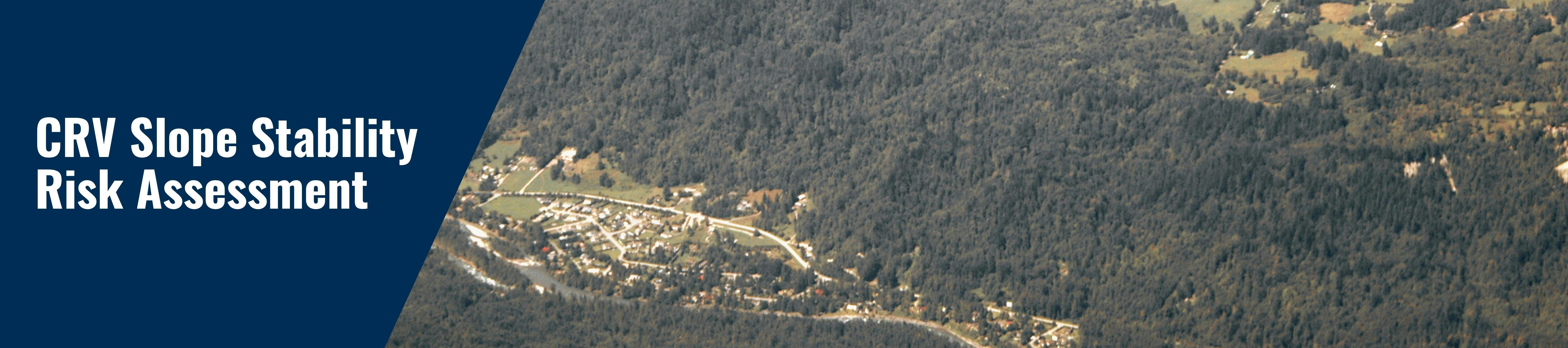
Area of Assessment:
The Project Area includes the slopes on both sides of the Chilliwack River valley, extending from Baker Trails in the east to the Slesse Park landslide to the west, as well as the Ranger Run area, and the subdivision at Post Creek. Communities within the valley include Baker Trails, Bell Acres, Slesse Park, and Post Creek.
Be Heard & Get Involved:
Ensuring those that may be impacted have a high level of awareness of the risks and potential implications is crucial in supporting community resilience to landslide risk. As part of this project, community engagement activities are underway, including a survey that received 108 responses. We will also be hosting a community workshop in the Chilliwack River Valley this winter. Please check back for updates!
This project is fully funded by the Ministry of Emergency Management and Climate Readiness. The FVRD is working with BGC Engineering to assess slope stability risk in the Chilliwack River Valley (Electoral Area E). Slope stability risk refers to geohazards that may impact residences and infrastructure and includes processes such as landslides, debris flows, rotational slumps, rockfall, and rockslides. While we recognize it is important to assess all types of natural hazards, this project focuses specifically on geohazards, rather than other risks such as flooding or wildfires.
In broad terms, the intent of the work is to:
understand slope hazards and risks through comprehensive technical assessment, mapping, and modeling;
assess the safety of existing lands, infrastructure, development, and residents;
consider future conditions, including climate change; and,
identify strategies and mitigation options to reduce risks to the community.
Area of Assessment:
The Project Area includes the slopes on both sides of the Chilliwack River valley, extending from Baker Trails in the east to the Slesse Park landslide to the west, as well as the Ranger Run area, and the subdivision at Post Creek. Communities within the valley include Baker Trails, Bell Acres, Slesse Park, and Post Creek.
Be Heard & Get Involved:
Ensuring those that may be impacted have a high level of awareness of the risks and potential implications is crucial in supporting community resilience to landslide risk. As part of this project, community engagement activities are underway, including a survey that received 108 responses. We will also be hosting a community workshop in the Chilliwack River Valley this winter. Please check back for updates!