FAQs
What is an active transportation network plan, and why do we need one?
An active transportation network plan is a planning document that aims to create a comprehensive and connected network for walking, biking and rolling. The Plan will establish a vision for active transportation in the Electoral Areas of the FVRD and identify priority projects and locations for active transportation infrastructure. Having an active transportation network plan will provide additional opportunities to access more grant funding to implement infrastructure throughout the regional district.
Which areas of the FVRD is the Plan focused on?
The Plan will focus on communities within the FVRD’s eight electoral areas. There is a lot of potential to create connections between existing walking and cycling routes in the electoral areas, neighbouring communities at jurisdictional boundaries, and Indigenous communities to create a strong and integrated network that encourages residents and visitors to use active modes for travel more often.
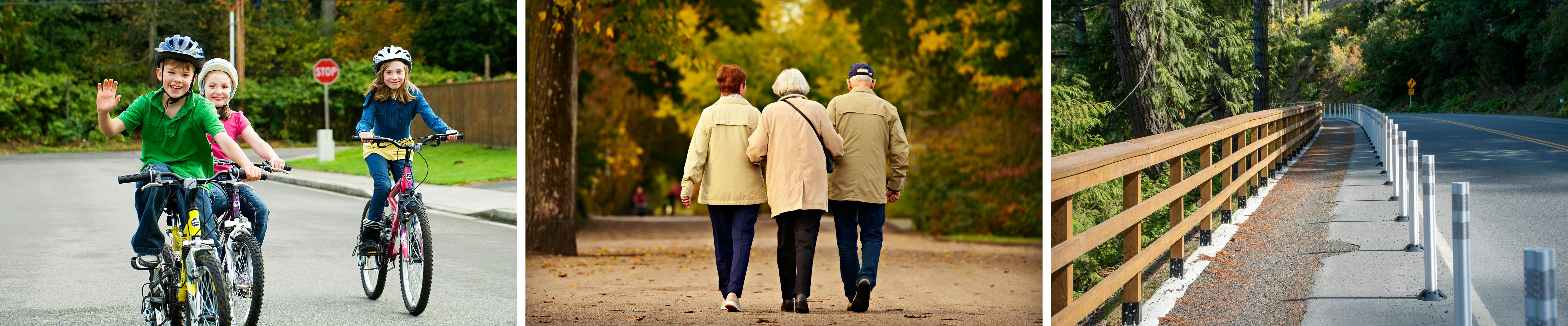
What are the different types of active transportation facilities that will be considered for the FVRD?
There are several active transportation facility types that will be considered for the FVRD. Walking and cycling routes can include on-street and off-street facilities such as sidewalks, paved and/or gravel shoulders, pedestrian trails, multi-use trails, painted bicycle lanes, and separated bicycle lanes. Recommended facility types will vary by location, anticipated users, and available right-of-way.
Will the Active Transportation Network Plan integrate with or support existing Regional District Plans?
The active transportation network plan will integrate, support, and respond to the goals, policies, and objectives of existing Regional District plans such as the FVRD Regional Growth Strategy, Regional Parks Strategic Plan, and applicable Official Community Plans.